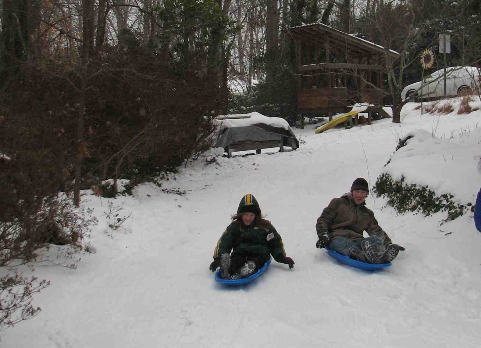
Chapel Hill 2010: Snow, Snow, Snow
Saturday, January 30th, 2010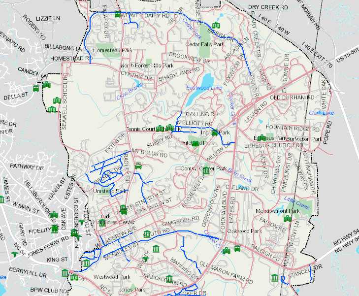
Chapel Hill has a new tool to track road conditions during adverse conditions, like today’s 3 to 6 inches snowfall.
The GIS map showing roads salted, cleared and relevant services is here.
Good to see this finally in place. The Tech Board discussed just such an application of the GIS system about 6 years ago.
Current weather conditions, courtesy of the Weather Underground, are available here.
The Town’s NextBus service, which usually shows current locations of the buses on their routes is available here.
Big caveat, though (from Chapel Hill Transit):
CHT’s NextBus system estimates the next arrivals for buses in real time, based on each vehicle’s location and average speed. But when many vehicles are off-route or significantly delayed, it cannot make accurate arrival predictions. NextBus can, however, tell you if your line is delayed, or the location of the next vehicle.
Longtime readers might recall that was one of the criticisms (beyond the expense, lack of WIFI and rejection of a local vendor) I had of the NextBus system.
Latest updates on the transit system here.